


The upper trail (marked with white and blue paint)
It goes along the eastern slope of the Big Taganay Ridge.
From the Crosses it is a rather steep firm ground descent into the valley of the Chisty Stream (about 400 m). Across the creek there is a bridge. Then comes a steep climb of similar quality to the fire clearing, then the path goes straight to the terrace of the Big Tesma river - the humidity in this area is increased. Further 300 meters is a steep rocky descent to the Deer bridge across Bolshaya Tesmu. There is a camping place on the left bank.
Onward, the trail is rocky, steeply upwards to the SE slope of the Double-Headed Hill and after about 1 km branches: to the left - to Skalodrom and straight to the White spring (about 1.5 km far).
From the White Spring you can choose one of the two directions of the Upper Trail. The left - more extreme - goes along the rocky foot of the mountain in the form of a narrow path and crosses 11 small and large stone rivers on its way. They are dangerous in wet weather and in the dark. The right one is more extensive, broad and waterlogged.
Both directions converge near the camping place on the bank of the stream Rattling Spring. Here the crossing over the watercourse goes along the rocks and is dangerous only in high water. Beyond the stream, a steep rocky ascent to the pass between the Double-Headed Hill and the Response Ridge begins. Approximately after 500 m - shelter Rattle Spring.
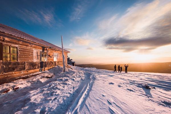
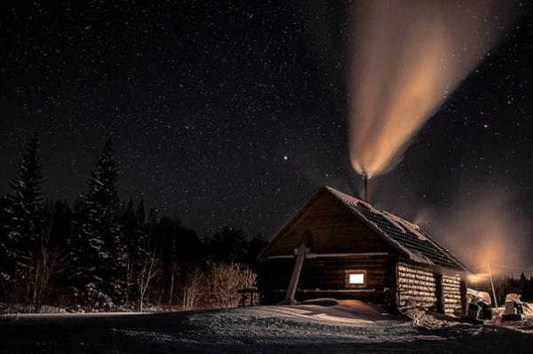
Further, the Upper Trail continues with a more gentle rocky rise (about 2 km) to the foot of the Response Ridge. From the Response Ridge the Upper trail about 500 m goes along the plain saddle to the fork: straight - to the Valley of Fairy Tales and to Kruglitsa; to the right - to the Hare Glades and the Taganay shelter. In the shelter "Taganay" the Upper trail docked with the Lower trail.
Lower trail (marked with white and blue paint)
From the Crosses is a steep clay soil descent into the valley of the Chistyi Stream. Then, a broad dirt road goes to the Iron Bridge (Middle Ford). Behind the bridge to the left there is a trail to the White and Rattling Springs, but it is more used as a technical road, to the right - to the Great Stone River and the camping place "Merry Spring". The path is a wide stony road, crossing two creeks along the bridges with marshy banks, and after 1.5 km it goes to the parking lot " Merry Spring ". There is a spring here. From the camping place you can see the panorama of the Great Stone River and the Double-Headed Hill, and from the middle of the placer - the Response Ridge. The width of the stone river in this place about 200 m. It is dangerous to walk through stone rivers in damp weather.
From the Merry Spring the trail scales and passes along boulders. After 4 km – camping place "Writed stone" and the eponymous creek. After about 2 km - the bend of the pass and the exit to the watershed "Mirror" ("Steklyashka"). It is necessary to cross it over the bottom stones. Here comes from the east a path, which goes through the Mont Blanc.
After the Mirror, a well-rounded trail interspersed with a dirty old causeway. There is a right turn to Hare Glades (indicated by a pointer). From here begins a gentle descent to the shelter "Taganay" about (2 km). In the upper part path is subterranean matted, in the middle - swampy, in the bottom - waterlogged.
When trail passes the shelter "Taganay" in the direction of the Kialim cordon, there become less boulders, but it’s still dirty. The path crosses two channels of Small Kialim (Kialimchiki) without bridges. In 200 meters from the last crossing – “Strelka” (fork in Kialim (1.5 km) - Three brothers (1.5 km) - "Meteorological station" (4 km)). From Strelka to Kialim Cordon there is again large stones and a large number of watercourses on the trail.
Onward the path goes to the north, but from here it's called the Karabashskaya trail. From the cordon, you can go up to the shelter "Meteorological Station" (about 5 km). At the bottom of the path there are many boulders and mud (even in dry weather) because of the mountain streams. The dry trail begins after 2 km, after another kilometer it connects with the trail leading from the "Strelka". From this junction to the summit of Far Taganay remains 2 km.
OLD / Little-known trails
Srednemalotaganayskaya or trail through the "Mont Blanc" (unmarked)
The old dirt road begins at the dam of the Big Tesmin Reservoir. Further along the western slope of Small Taganay, road became stony, in wet weather it is very wet. Onward - well drained dirt road, often with a grassy cover, goes in the decline between Middle and Small Taganay. At the end of the pass there is a radial way to the "Mont Blanc" mountain (3 km). Then - a steep rocky descent to the Kialim road (Lower trail) in the watershed area. At the outlet to the watershed the trail is heavily swamped. Not labeled.
Karabash trail (unmarked)
It connects the entrance to the park from the side of Karabash and the Kialim cordon. Path lays along the glade of the former power transmission line Zlatoust-Karabash. In many places it is boggy and difficult to traverse, intensively overgrown. Currently used by tourists from Karabash and Sverdlovsk region. The Karabash entrance is located in the NE part of the park, near the intersection of the former glade of the power transmission line "Zlatoust-Karabash" with the Big Kialim river. Unmarked.
Itzil path (marked on ... km from the Kialim cordon)
It goes from the Kialim cordon (the right bank of the Big Kialim) along the western slope of the Itzyl Ridge, crosses the Polina Creek and comes to the Karabash path. It is an old logging road, matted in some places, swamped at the intersections with streams. Unmarked.
Miass trail (unmarked)
The old logging dirt road is very popular with tourists heading to the park from the Miass (through the village Severnye Pechi) and from Lake Turgoyak. From the Miass entrance, which is located at the southern extremity of Mount Itzil, the trail smoothly rounds the SW side of Iszil and goes to the Kialim cordon (4, 5 km). Unmarked.
Ahtensko-Shumginskaya trail (unmarked)
It connects the Akhtensky entrance and the Far Taganay. After the ford crossing the Kusa River, the old logging dirt road runs along the right bank of the Shumga-1 river to the Shumga-1 fork (the former cordon). Then narrow trail leads through old cuts to the east, the last 3 km - along the southern outskirts of the Ryssyny Raspadok. Akhtensky entrance is 7 km far from the northern outskirts of the village Magnitka in the Akhtena mine area.
Magnitskaya trail (old blue and white marking)
It begins in the area of Old Magnitogorsk and Mount Protopop. It goes to the east to the upper reaches of the Right-bank Magnitka in the beginning along the left and then along the right bank along the old logging road. After the watershed of the rivers Big Tesma and Shumga-1 passes into a narrow path and crosses in the northern part of Tesminskiy stone river, and after 3 km it goes to the Valley of Fairy Tales, where it joins the Upper Path. On the trail is the old marking.
Ural track (unmarked)
It goes along the western slope of the Ural ridge and overlooks the Miasskaya road in the area of the pass through the Itzyl ridge. The old logging road has economic and, to a lesser extent, tourist value. Not labeled.